
The long-distance walking trail along the route of the Romantic Road covers just over 450km in 24 days and is split up into 13 stages.
Of course, most walkers will be looking at doing part of the trail rather than the whole three-and-a-half weeks (which hardly allows time for rest and sightseeing!).
The distance is 440km and it is relatively flat in many of the stages (in fact, despite the fact that it goes into the foothills of the Alps, the overall difference in altitude is not particularly great - under 600 metres). The main climbs come around Rothenburg ob der Tauber and approaching the hilly country of the Pfaffenwinkel.

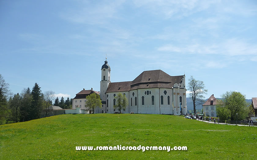
Wieskirche, Germany
Suggestions for sections which would be suitable for a walking holiday:
Sadly there is not much information on the walking trips available in English (a book published in 1997 was the first and only option provided by Amazon). Books with route descriptions in German and walking maps of local areas are available from various publishers and, of course, from local bookshops and newsagents in the bigger towns along the route.
Kompass and Freytag & Berndt are two of the best-known map publishing companies in Germany, with Kompass probably having the edge when it comes to walking maps and Freytag & Berndt when it comes to regional driving maps.